3.4.4.1. Clip raster bands
Clip multiple rasters
This tab allows for cutting several image bands at once, using a rectangle defined with point coordinates or a boundary defined with a vector.
Порада
Information about APIs of this tool in Remotior Sensus at this link .
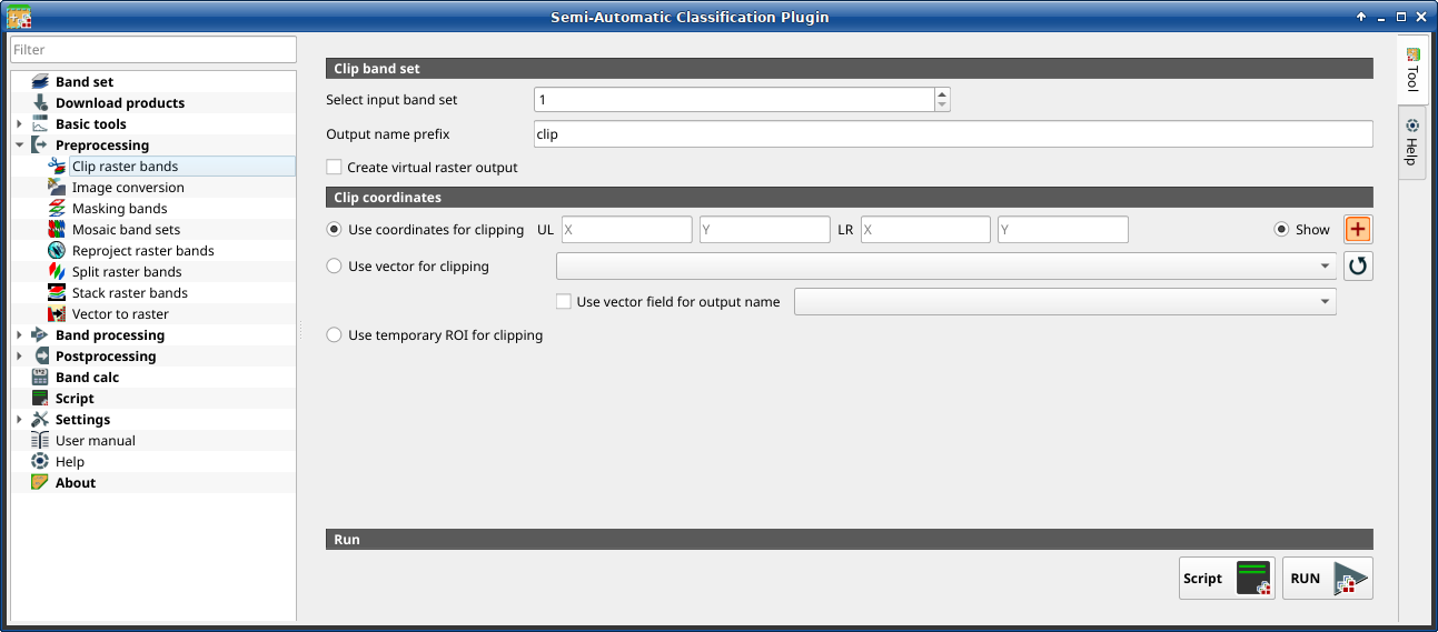
3.4.4.1.1. Clip band set
Tool symbol and name |
Description |
|---|---|
Select input band set |
select the input Band set to be clipped |
|
if checked, set the value for |
Output name prefix |
set the prefix for output file names (default is |


3.4.4.1.2. Clip coordinates
Set the Upper Left (UL) and Lower Right (LR) point coordinates of the rectangle used for clipping; it is possible to enter the coordinates manually. Alternatively use a vector.
Tool symbol and name |
Description |
|---|---|
|
if checked, use defined coordinates for clipping bands |
UL X |
set the UL X coordinate |
UL Y |
set the UL Y coordinate |
LR X |
set the LR X coordinate |
LR Y |
set the LR Y coordinate |
|
show or hide the clip area drawn in the map |
|
define a clip area by drawing a rectangle in the map; left click to set the UL point and right click to set the LR point; the area is displayed in the map |
|
if checked, use the selected vector (already loaded in QGIS) for clipping; UL and LR coordinates are ignored |
|
if checked, a vector field is selected for clipping while iterating through each vector polygon and the corresponding field value is added to the output name |
|
if checked, use a Temporary ROI for clipping; UL and LR coordinates are ignored |
|
refresh layer list |
Script |
add this function to the Script |
RUN |
run this function |


