3.4.6.2. Classification report
Classification report
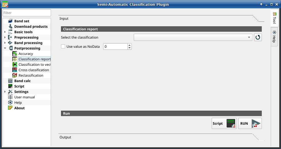
This tab allows for the calculation of class statistics such as number of pixels, percentage and area (area unit is defined from the image itself).
Порада
Information about APIs of this tool in Remotior Sensus at this link .
3.4.6.2.1. Classification report
Tool symbol and name |
Description |
|---|---|
Select the classification |
select a classification raster (already loaded in QGIS) |
|
refresh layer list |
|
if checked, set the value of |
Script |
add this function to the Script |
RUN |
run this function |


The tab Output will display the report.